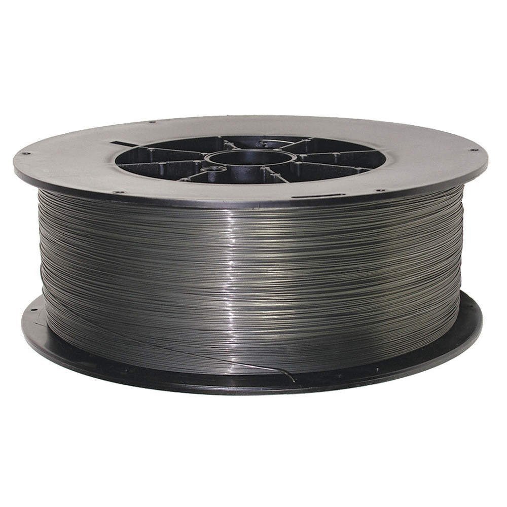
Nickel Alloy MIG Wires
Spooled solid wires for high-deposition, semi-automatic and robotic GMAW welding.
GMAWView →
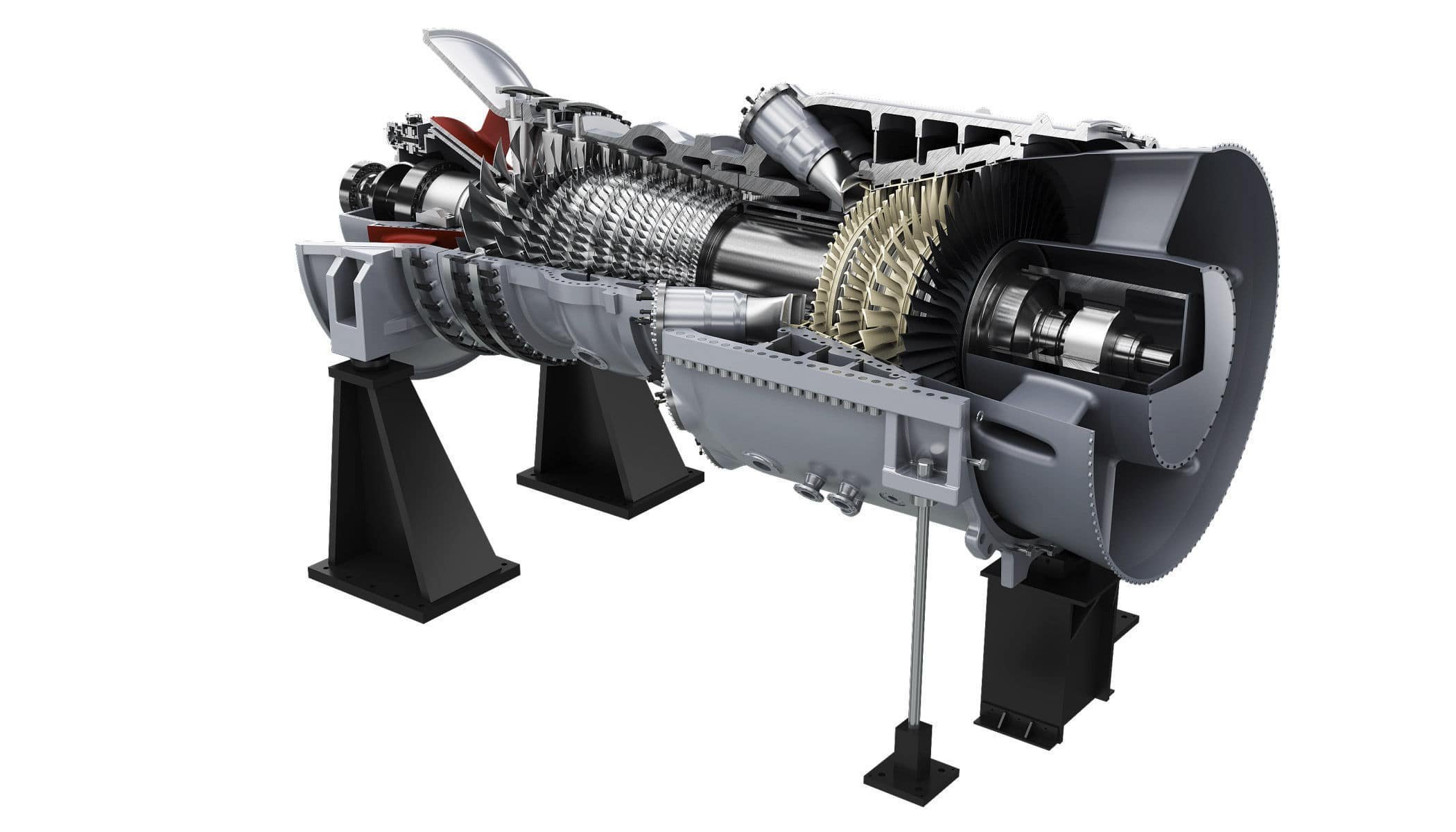
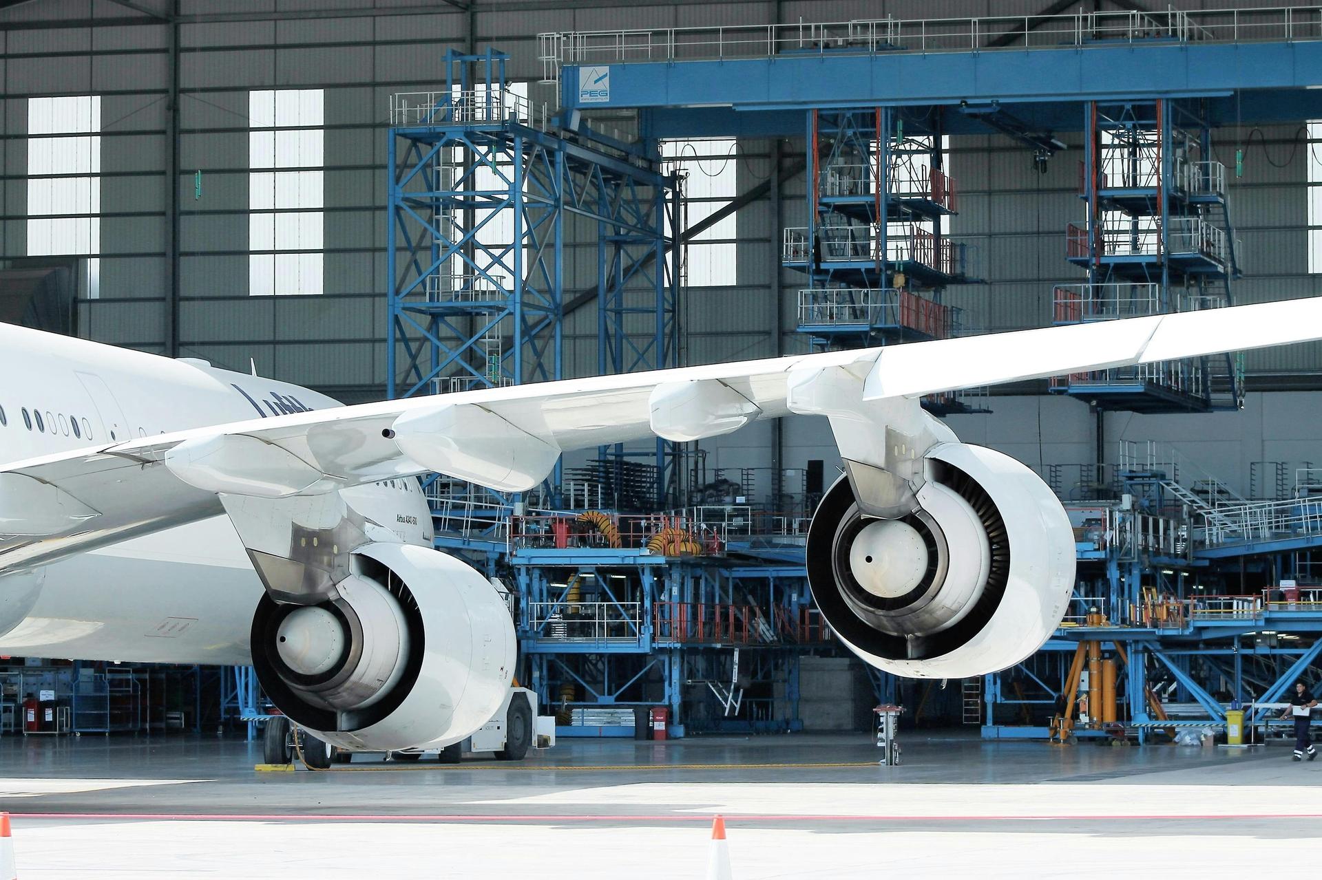
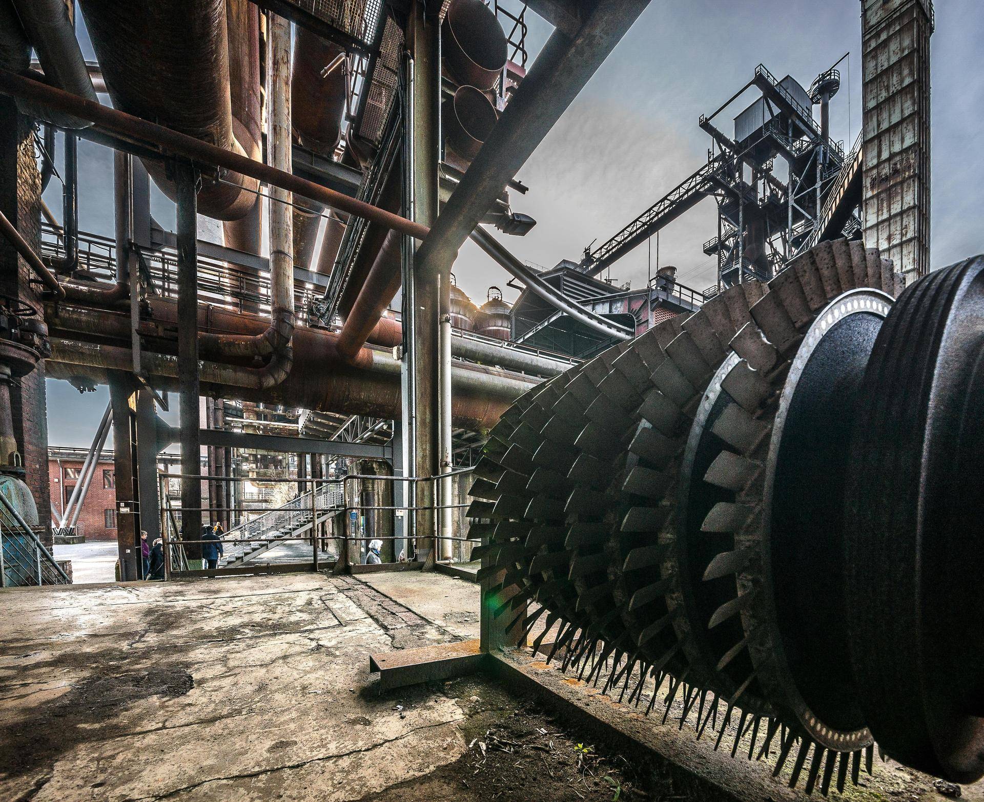
Trusted solutions for corrosion-resistant and high-temperature welding applications — engineered for superior weld integrity and reliable performance.
A complete consumables programme for joining, cladding, repair and maintenance across every nickel alloy family.
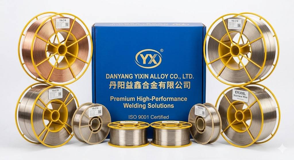
Spooled solid wires for high-deposition, semi-automatic and robotic GMAW welding.
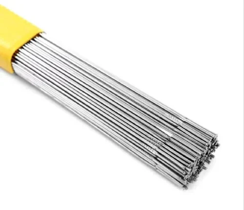
Precision-cut straight lengths for clean, high-quality GTAW root and fill passes.
Specialised fillers for overlay, cladding and dissimilar-metal repair work.
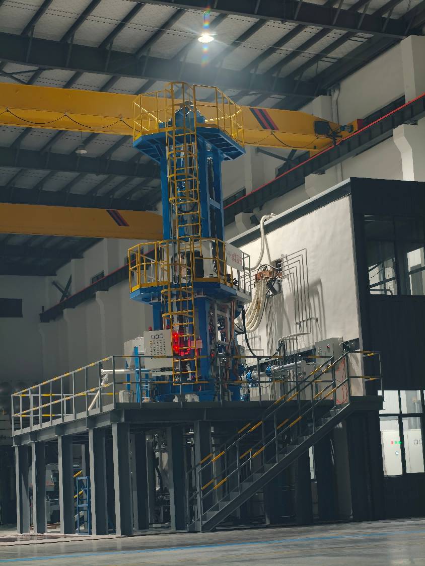
With fully self-controlled vacuum induction melting, wire drawing, annealing and testing, we guarantee consistency in every kilogram we ship.
Tight diameter tolerance & verified chemistry.
Reliable global stock & export logistics.
Welding & metallurgy engineers on call.
Direct-from-manufacturer bulk pricing.
Every batch is verified and supplied with a full Mill Test Certificate for complete traceability.
Quality management system certified for design & manufacture.
Welding consumables produced to American Welding Society spec.
Boiler & pressure-vessel grade filler-metal compliance.
Chemical & mechanical conformance for nickel alloys.
Qualified for defence & aerospace material supply.
Full traceability document issued with every shipment.